
Our Services
Innovative, precise, and sustainable solutions tailored to meet your project needs—empowering responsible decision-making and environmental stewardship.

Comprehensive Services
Our Comprehensive Environmental and Drone Services
At Crisp Environmental, we offer a diverse range of innovative environmental solutions powered by a combination of scientific expertise and cutting-edge drone technology. Our services are tailored to meet the specific needs of each client across various industries, ensuring sustainable, accurate, and regulatory-compliant outcomes.
Industries We Serve
Our expertise and services cater to a wide range of sectors, including:
Environmental Consulting & Engineering | Agriculture & Forestry | Mining & Resource Management | Construction & Infrastructure | Government & Regulatory Bodies | Utilities & Energy
Environmental Services
Our comprehensive environmental services are designed to support your project lifecycle—from assessment to compliance and remediation:
- Environmental Impact Assessments (EIAs): Providing detailed insights into potential impacts, helping you plan responsibly and meet regulatory requirements.
- Visual Impact Assessments: Evaluating how proposed developments may affect the landscape visually.
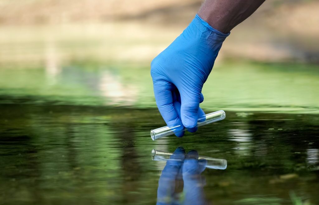
- Air and Water Quality Monitoring & Assessments: We provide expert monitoring and analysis of air and water quality to ensure compliance, assess environmental impacts, and support sustainable management decisions.
- Noise Monitoring: Measuring noise levels to ensure compliance and minimise disturbance.
- Biodiversity & Habitat Surveys: Documenting flora and fauna to support conservation and biodiversity management.
- Environmental Auditing & Compliance: Ensuring your projects adhere to all relevant environmental standards and regulations.
Drone & Aerial Services
Leveraging the latest drone technology, we provide high-resolution, geo-referenced aerial data that enhances project planning, monitoring, and reporting:
- Aerial Surveying & Mapping (GIS-Integrated): Creating detailed topographical maps and spatial datasets for planning and analysis.
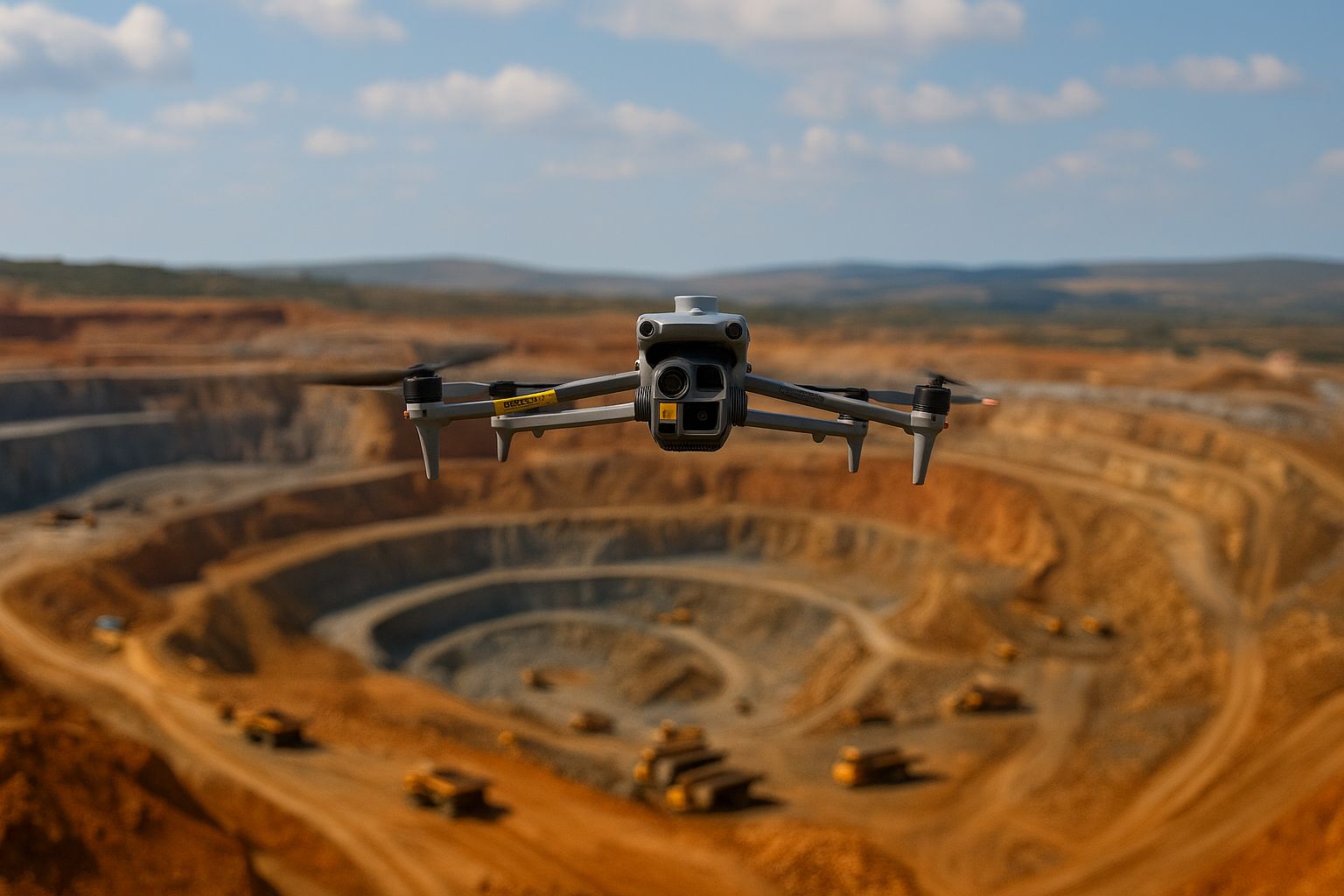
- Stockpile Volume Measurements: Accurate volumetric calculations of stockpiles for mining, construction, and industrial operations.
- Construction Progress Monitoring: Regular aerial updates to track project timelines, progress, and quality.
- Environmental Monitoring (Visual-Based): Ongoing aerial assessments of ecosystems, habitats, and site conditions.
- Visual Inspection Services: Safely inspecting hard-to-reach or hazardous areas with high-resolution imagery.
- 3D Modeling & Photogrammetry: Developing detailed 3D models for analysis, reporting, and planning.
- Upcoming Services: Thermal Inspections and Wind Turbine Inspections—using advanced sensors to support diverse evaluation needs.
- Digital Elevation Models (DEM’s)
Ready to Elevate Your Project with Cutting-Edge Solutions?
Contact us today to explore how our innovative environmental and drone services can drive your project’s success and sustainability.